HURRICANE HUNTERS

  • HOME
  • Cyberflight
    > Eye-to-Eye
  • Data
  • Events & PA
  • Gallery
  • Jobs
  • History
  • Stories
  • Background
  • FAQs
  • Ask Us
  • Links

  • Gordon
  • Joyce
  • Eye to Eye with TS Helene

    click for bigger pic
use BACK key to return here

    Tropical Storm Helene started as Tropical Depression #12 just to the east of the Lesser Antilles. It's track crossed into the Caribbean and then clipped the eastern edge of Cuba to enter the Gulf of Mexico, where it strengthened to a Tropical Storm.

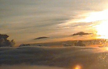
    This lovely sunset was on the evening of Sept 21st, on one of our final missions into this storm. It made landfall on the Florida panhandle on the morning of Sept 22nd. Wind shear tore away most of the deep convection around the storm just prior to landfall, so fortunately the effects of this storm were minimized. There was some indication the storm could regain some tropical characteristics after it returns to the Atlantic.
    Thursday, Sept 21st

    One of our crews launched in the predawn hours on Sep 21st to find TD#12 had strengthened into Tropical Storm Helene.
    click for bigger pic
use BACK key to return here
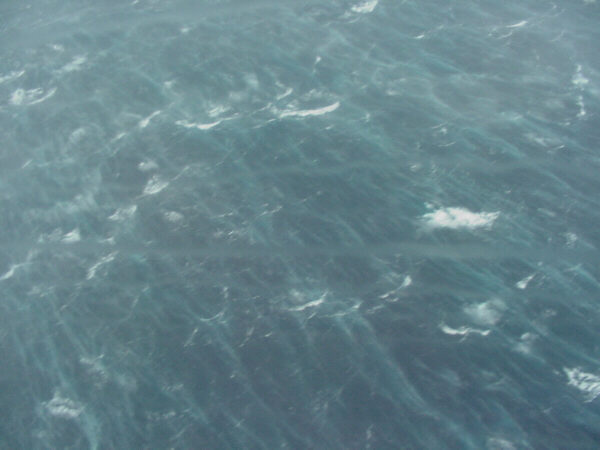
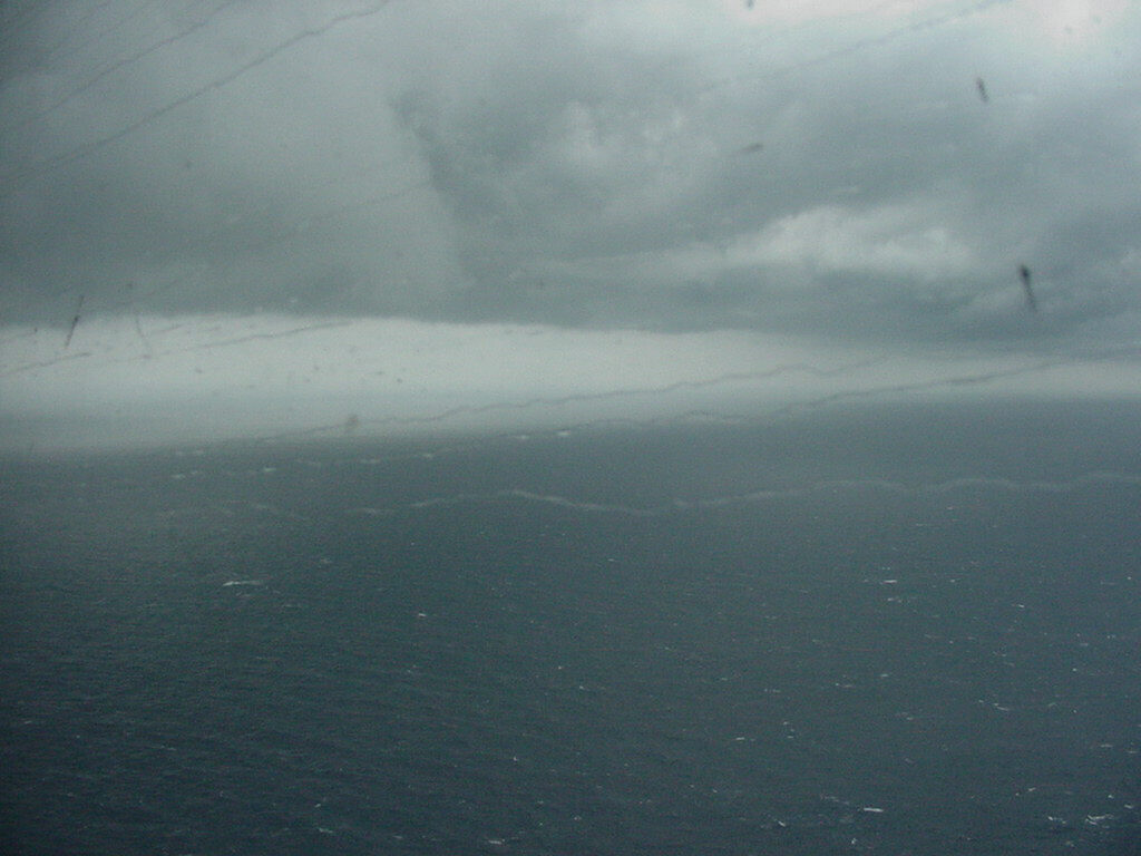
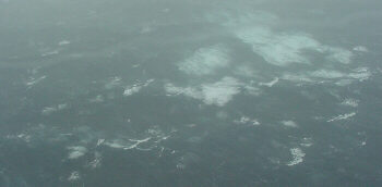
    big rollers! We flew these missions at 700 - 1500 feet above the raging sea surface. As we reached areas inside the storm with stronger and stronger winds, the sea below became wilder. First we saw only white caps, then patches of foam, then green patches of foam (as air became trapped under water by 35 mph winds), and then continuous streaks as we got into winds near the upper limits of a tropical storm. Click here for a 10-sec .mpg movie (232K) of flying over the sea in Helene.
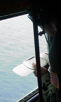
    Raging Sea reading wind direction
    navigator weather officer
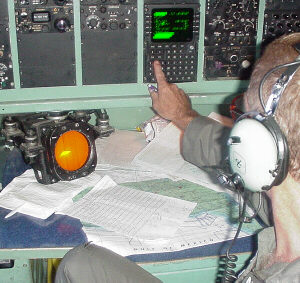
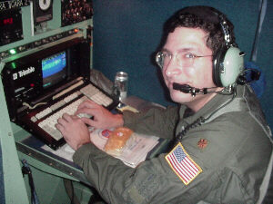
    Our aircrews consist of at least six members... On this crew, Navigator Steve helped track the tropical storm's movement using the on-board navigation systems, while weather officer Warren managed the stream of data pouring in on his computer from aircraft sensors. They found an impressive 8 millibar drop in pressure in the short space of two hours, termed a "burst of intensification" by the National Hurricane Center.
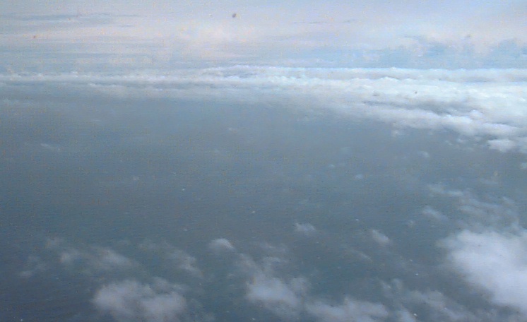
    The next flight a few hours later snapped this photo in the center of TS Helene, where the low-level cumulus clouds wrapped around the circular center. A storm this weak does not have an "eye", but the clouds can still show the tell-tale circular pattern, as they follow the counter-clockwise windflow. Our crews monitored the weakening storm as it approached the Florida coastline, even as the storm became harder to detect on the night-time infrared satellite pictures. This information helped emergency managers make appropriate levels of preparations. click for bigger pic
use BACK key to return here
    Go to Joyce or 2000 Summary or Home Page