HURRICANE HUNTERS

  • HOME
  • Cyberflight
    > Eye-to-Eye
  • Data
  • Events & PA
  • Gallery
  • Jobs
  • History
  • Stories
  • Background
  • FAQs
  • Ask Us
  • Links

  • Winter Storms
  • Eye to Eye with Rosa

    click for bigger pic
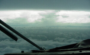
use BACK key to return here A row of thunderstorms is backlight against the sky, as we fly beneath an overcast sky towards Tropical Storm Rosa. This tropical cyclone developed in the Eastern North Pacific ocean, in the Baja California region--traditionally the "hottest" spot for hurricanes to be born... more tropical cyclones form here than in any other region of that size in the world!
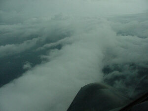
    Looking over our nose at Rosa: Flying at 5000 feet into this storm, we found plenty of rain and winds of a strong tropical storm (near 60 mph). This is what the satellite analysts and forecasters had anticipated, and we confirmed their estimates. The storm made landfall on Mexico's west coast the next day. billowy clouds
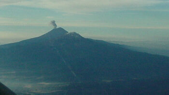
    We enjoyed great cooperation with Mexico, which gave us permission to enter their airspace enroute to the storm. This was the only way we could reach Rosa in just one round-trip flight. We had a spectacular view of this volcano, and transitioned from rugged terrain to rugged weather. Quite a day!

    Go to Eye2Eye Storm Summary or 2000 Summary or return to Home